March 20, 2024
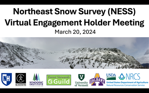
On Wednesday March 20, 2024, partners from the University of New Hampshire, Appalachian Mountain Club, Schoodic Institute, Forest Stewards Guild, University of Vermont, University of Albany, and USDA Natural Resources Conservation Service hosted a Virtual Interest Holder meeting to discuss NESS project context and further refine proposed snow monitoring network objectives. The attendees included over 50 interest holders from state, federal, academic, NGO, tribal, and municipal sectors, including USDA Forest Service, US Geological Survey, the National Weather Service, National Park Service, the Appalachian Trail Conservancy, The Nature Conservancy, and state park, geological, and environmental agencies. Understanding the needs of these different user groups is critical to NESS, which aims to inform and assist researchers, emergency planners, land and forest managers, and recreationists alike.
Based on the 1.5-hour collaborative session, the NESS objectives were further refined to include the following:
NESS Objectives and new specification ideas:
Monitoring gaps: To evaluate gaps and needs in monitoring snowpack in the East.
- Specific parameters: soil moisture, temperature, and frost data, snow measurements, wind speed and direction, soil, ground surface, and above ground temperature, and rain / precipitation measures
- Make sure to include consistency and timeframe in spatial distribution
Model validation: Validate climate models and support data assimilation.
- Add numerical modeling: climate models are physical while numerical modeling focuses on forecasts
- Collect snow depth, temperature, precipitation, soil moisture and temperature, solar radiation, and wind speed and direction measurements
Hydrology: Forecast streamflow, groundwater, and soil moisture.
- Focus on the impacts: streamflow is flooding, soil moisture can impact fires, water supply, drought
- Collect high quality, real time precipitation data (liquid and frozen)
Seasonal transitions: Enhance our understanding of seasonal transitions and dynamics.
- Find sites representative of landscape trying to measure
- Consider site maintenance
- Potential use of sites to ground-truth satellite data
Wildlife: assess and manage wildlife habitat.
- Assess impacts on wildlife and habitat to inform management
- Understand landscape-scale connectivity of habitat
- Determine if there are phenological mismatches for wildlife
Forest health: Forest health (wildfire, insect and disease, etc).
- Measure impacts from melt times, soil temperature, and phenological changes
- See if insects, pests and disease rates change as winters become more mild
- Understand soil moisture connection to wildfires
Recreation and safety: Support and manage winter recreation use – avalanche, Search and Rescue, forestry operations, agriculture, river recreation.
- Assist trail management
- Forecast avalanches and floods
Further specifications and work on NESS will continue, with a planned in-person interest holder meeting in late May 2024. The establishment of a long-term, partner-oriented network will continue to take time and deliberation, in order to maximize benefits to researchers, managers, and interested parties.