
What we do. We advance the observation, understanding, modeling, prediction, and operational interpretation of snow and frozen-ground processes, particularly in transitional environments in the northeastern United States, and evaluate their consequences for mobility, forest management, water, and hazards.
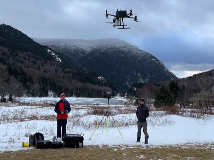
How we do it. We synthesize uncrewed aerial systems (UAS; aka drones) data, focused field campaigns, satellite remote sensing, and modeling techniques. We also engineer new UAS observing platforms, including optical, LiDAR, hyperspectral, thermal, gamma ray, and ground penetrating radar (GPR).
Why we do it. Over one-third of the Earth has seasonal snow with annual cycles of accumulation and melt, and winter conditions are changing faster than those in any other season. Emerging modeling and observing techniques are increasingly available to better understand these changes and their impacts.
Research Areas
Want to know more about what we do? Visit the Research Areas tab to learn more about the topics we study. Read More
Who We Are

Interested in joining the team? Visit the About Us page to learn more about the current and past members of CRHC and our values. Read More
News

Want to know what we’ve been up to lately? Check out our blog to learn about the latest research updates, awards, and open positions. Coming Soon!